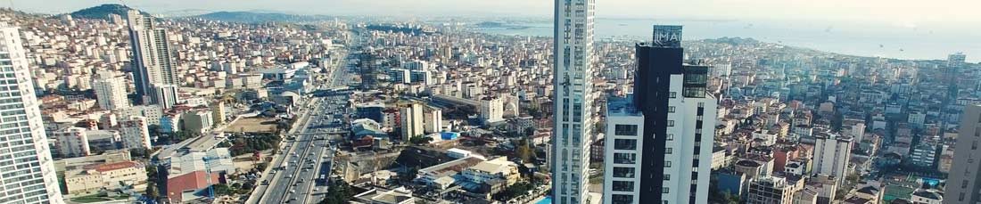
Microzonation of Anatolian Istanbul
Project: Microzonation of Anatolian Istanbul
Project Duration: 2007 – 2009
Project Extent: Anatolian Side of Istanbul
Project Participants: IMM – Directorate of Earthquake and Ground Analysis, OIC (Oyo International Corporation), GRM
Scope of Project: In order to evaluate the hazardous effects of an earthquake as they vary over analysis grid cells covering the Anatolian side of Istanbul, the following were performed:
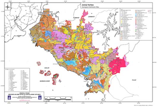
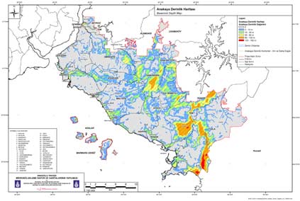
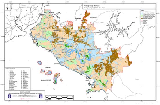
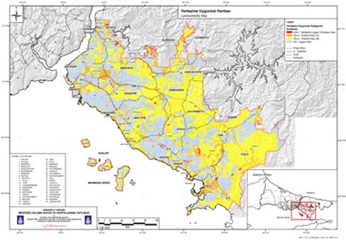
- Production of maps in a GIS environment (e.g. geology, engineering geology, soil classification, shear-wave velocity (AVs30), hydrogeology, landslide, land suitability).
- Associated analyses (e.g. kinematics, slope stability, hydrogeology, bedrock geology).
Development of related software (e.g. input of log spreadsheets, viewers for log spreadsheets and core-outcrop photos, topographic cross-sections, subsurface water level, laboratory results).