Development of GIS for Urban Earthquake Risk Determination
Project: Development of GIS for Urban Earthquake Risk Determination
Project Duration: 2013 – 2014
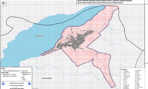
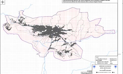
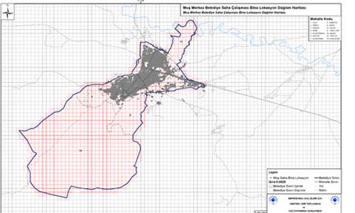
Project Extent: Burdur, Muş, and Kahramanmaraş provinces of Turkey
Project Scale: 0.0025-degree analysis grids
Project Participants: Boğaziçi University KOERI Earthquake Engineering Department, GRM, Turkish Ministry of Environment and Urbanization
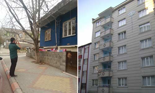
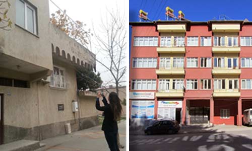
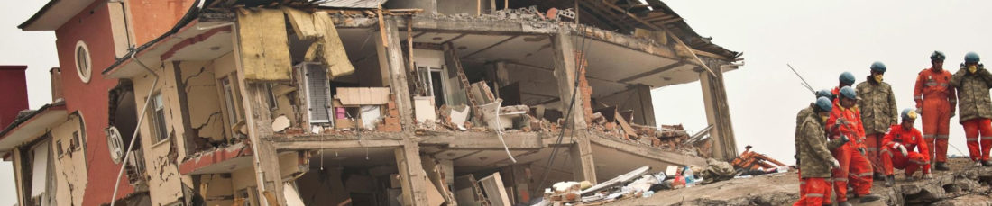
Scope of Project: Collection of urban data to be used as input for earthquake risk analyses as well as compilation and organization in a Geographic Information Systems (GIS) environment. Turkish provinces of Burdur, Muş, and Kahramanmaraş were selected as pilot locations for the project.